Millimetre-level accuracy
Give designers, contractors and property teams confidence in the existing building before key decisions are made.
 Commercial Surveying • CAD • FARO Laser Scanning • Digital Capture
High-accuracy survey capture
Capture millions of accurate measurements using professional FARO Laser Scanning technology to create reliable survey data for commercial projects.
What It Is
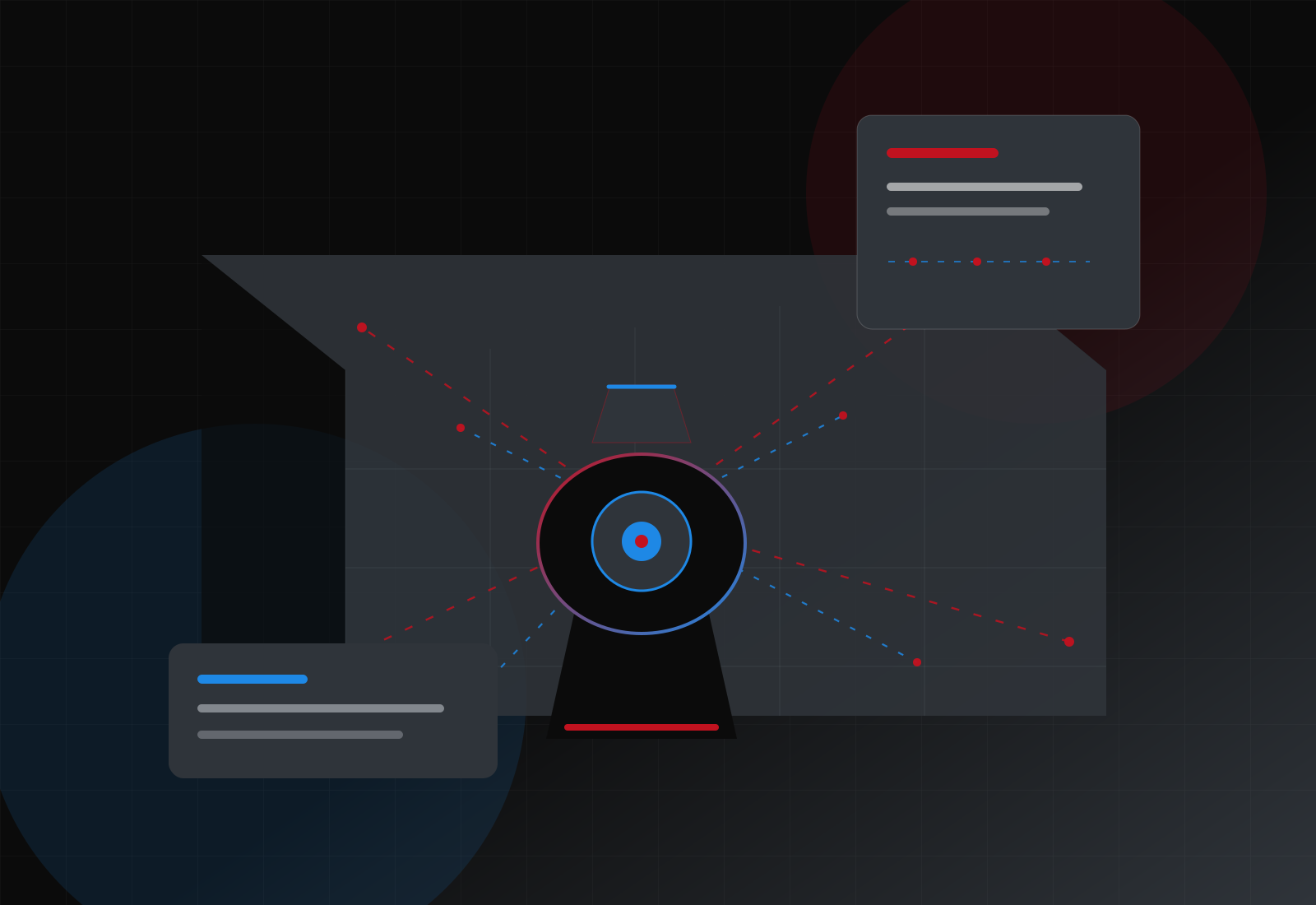
3D Laser Scanning is a fast, precise way to record the shape, size and layout of a building. A professional scanner reads the space from multiple positions and builds a detailed digital picture of the existing conditions.
GJS uses professional FARO Laser Scanning equipment on site. The survey is then processed into a Point Cloud, giving your project team a clear technical reference for drawings, design work, refurbishment planning and coordination.
This approach is especially valuable in commercial buildings, occupied premises, complex layouts and projects where reliable information is needed before decisions move forward.
Why Choose 3D Laser Scanning?
Laser Scanning gives project teams a clearer understanding of existing conditions before drawings, design decisions, refurbishment planning or construction work begins.
Give designers, contractors and property teams confidence in the existing building before key decisions are made.
Survey large or busy environments efficiently, helping programmes move forward with less disruption on site.
A detailed Point Cloud helps answer follow-up questions after the visit, reducing the need to return for missed details.
Give architects, designers, contractors and client teams a shared reference for the existing conditions.
Keep a reliable snapshot of the building for future works, estate planning, maintenance and record keeping.
Handle irregular layouts, plant areas, retail back-of-house spaces and detailed interiors with greater confidence.
Typical Applications
From retail rollouts to complex estates, 3D Laser Scanning helps project teams understand the building properly before committing to design, drawing or construction decisions.
Support store refurbishments, Fit-Outs and rollouts with a dependable record of sales floors, stockrooms and back-of-house areas.
Give workplace teams clear existing-condition information before layout changes, landlord works or tenant improvements.
Document plant areas, services and operational spaces where manual surveying can miss important detail.
Plan sensitive estate improvements around clear survey information while minimising disruption to active environments.
Support school, college and campus projects with reliable existing layouts for maintenance, refurbishment and design decisions.
Record irregular or delicate existing conditions where careful survey information is essential before works begin.
Our 3D Laser Scanning process
We confirm the building, project purpose, required outputs, access arrangements and timescales.
The survey approach is planned around the spaces involved, site constraints and operational requirements.
GJS uses professional FARO Laser Scanning equipment to record the building efficiently and carefully.
The survey information is processed into a clear Point Cloud ready for review and technical use.
The Point Cloud can support Measured Surveys, AutoCAD Drawings, models and wider Digital Records.
You receive the agreed outputs with clear communication and practical follow-up support where needed.
Why Choose GJS?
GJS Design Consultants Ltd combines FARO Laser Scanning technology with practical surveying and CAD experience, helping clients turn site information into useful project outputs.
Survey support for retail, commercial property, refurbishment, construction and design teams.
Laser Scanning carried out using professional FARO technology suited to demanding project environments.
Outputs shaped around the survey information your project team needs to work with confidence.
Direct, practical communication from enquiry through to survey delivery and follow-up support.
Clear coordination, efficient site visits and dependable outputs help keep commercial programmes moving.
Laser Scanning can work alongside Measured Surveys, AutoCAD Drawings, Matterport and Planning Support.
Frequently asked questions
These answers explain the service in plain English and help you decide whether 3D Laser Scanning is the right fit for your project.
3D Laser Scanning is a professional survey method used to record existing buildings in detail. It creates a digital reference that can support drawings, design decisions and project coordination.
A Point Cloud is the digital output created from the scan. It shows the building as millions of points, giving your project team a detailed reference for the existing space.
Laser Scanning can provide a very high level of accuracy, but the right approach depends on the building, site conditions, required outputs and project brief. GJS will advise on the best method before work begins.
GJS uses professional FARO Laser Scanning equipment because it is well suited to commercial buildings, refurbishment projects and technical Drawing Production.
For many projects, Laser Scanning provides a more complete starting point than manual measuring alone. Some briefs may still require targeted checks or additional survey information depending on the final deliverables.
Yes. Occupied buildings can often be scanned with careful planning around access, safety, staff, customers and operational requirements.
Deliverables depend on the agreed scope. These may include Point Cloud information, AutoCAD Drawings, PDFs or other project outputs needed by your team.
Yes. Laser Scanning can provide the existing-building information needed for Planning Drawings, Proposed Layouts and design-stage decisions.
Yes. It is particularly useful for refurbishments because it helps establish the existing conditions before design, coordination or construction work begins.
Ready to Discuss Your Building?
Tell us about your building, access requirements and required outputs. We will advise how FARO Laser Scanning can support your survey, CAD, planning or refurbishment work.